
Coronado ZIP Codes by Geographic Role
The first task in a Coronado ZIP code directory search is to distinguish geographic mail from a PO-box route. The research identifies two ZIP codes with different uses. USPS routes for Coronado are the authority for deliverability and ZIP+4. City and county parcel or zoning records answer jurisdiction. The table keeps those questions separate.
| ZIP | Areas covered | Post office or route | Notes |
|---|---|---|---|
| 92118 | Incorporated Coronado, the Village, much of Silver Strand, and Coronado Cays mailing area | Coronado Post Office or station | Principal geographic ZIP; verify every address |
| 92178 | Coronado PO boxes | Coronado postal facility | PO-box ZIP; does not map to a dwelling or parcel |
Coronado 92118 can narrow a search to the broader postal area, but it does not identify a specific street or person. 92178 tells you about a mailing channel, not a physical household. The two rows are the core of a useful ZIP code directory because they prevent a PO box from being placed on a map.
Why Coronado ZIP 92178 Is PO-Box Only
A Coronado PO-box ZIP is designed for delivery to boxes at a postal facility. A 92178 address can therefore be valid mail without identifying a street, lot, APN, or building. It cannot place a person on a physical block. Do not feed a PO-box line into a parcel lookup as if it were a situs address.
When a name appears with 92178 in Coronado, retain it as a mailing clue and seek a separate physical address through a lawful, source-specific channel. A business filing may show a principal or mailing address. A deed or assessment record may show a parcel relationship. A directory may show a historic residence. These sources answer different questions and should not be merged because the postal label looks familiar.
The USPS ZIP Lookup for Coronado can confirm postal treatment. It cannot provide a current resident list.
Find Coronado Residents by ZIP Code
The Coronado ZIP code directory workflow is a narrowing process. It does not produce an all-residents result because the county assessment roll has no safe ZIP-wide owner filter and the voter lookup uses ZIP as one identity field for the requesting voter. Begin with a name, address, or record type, then use the ZIP to test whether the clue fits the postal area.
- Confirm the postal ZIP and ZIP+4 in USPS for the exact address or city and state.
- Decide whether the ZIP is geographic 92118 or PO-box-only 92178.
- Use the county assessment roll by address, street, or APN rather than expecting a ZIP resident roll.
- Check the city or county parcel and zoning context to verify jurisdiction.
- Use a directory, court, business, vital, or recorder record to test the person-specific clue.
Once a ZIP narrows the Coronado area to a street, the address-keyed parcel and deed method belongs on the Coronado street directory page. The ZIP code directory should hand off at that point instead of pretending postal geography can identify neighbors.
Separate Coronado ZIP Geography From Jurisdiction
“Coronado, CA 92118” is a postal description. It does not alone prove that a parcel lies inside every boundary a researcher has in mind. USPS delivery geography, city limits, county assessment, federal land, and naval facilities can overlap in ways that look simple on an envelope. Verify the governmental location in city or county parcel and zoning records after USPS confirms the mail form.
The county assessment roll keys to situs, address, street name, and APN. The recorder’s instruments rely on names and legal descriptions. A voter self-lookup uses standardized address fields and ZIP as part of the requester’s identity check. A directory may print an older city name or “Coronado Beach.” The postal string is one clue in that chain.
A precise Coronado ZIP code directory therefore states what it knows: a mailing area, a post-office route, or a PO box. It does not turn a Coronado ZIP into a municipal map.
Read Coronado ZIP Clues by District
Coronado’s physical form shapes ZIP searches. The Village around Orange Avenue contains early residential blocks, civic buildings, and Hotel del Coronado. Coronado Shores adds high-rise condominium parcels whose owner and mailing patterns differ from single-family blocks. Coronado Cays is a later planned waterfront community on the Silver Strand, with subdivision and association records. Naval Base Coronado introduces federal jurisdiction and large nontraditional parcels.
These Coronado place names can improve a search, but they are not substitutes for a postal code, APN, or legal description. A military member may use transient or off-island mail. A condominium parcel can have a mailing pattern unlike its situs. A planned community can carry an address that is familiar to residents but not obvious in an old directory.
When a Coronado person or property trail crosses one of these areas, preserve the neighborhood label, postal ZIP, situs, mailing address, APN, and legal description as separate fields. That record layout is more useful than a single normalized city string.
Coronado’s official geography overview is available through About Coronado.
Verify Coronado ZIP+4 and Postal Codes
Coronado ZIP+4 adds delivery precision inside a postal code. It can point to a particular route, box range, building, or delivery segment, but it remains a postal key. It does not expose a resident list or establish title. Use the USPS lookup when an address is nearly right, when a direction or unit is missing, or when a PO-box line needs confirmation.
- ZIP code
- A five-digit Coronado postal area used for delivery routing.
- ZIP+4
- Four extra digits that refine a Coronado delivery segment within the five-digit ZIP.
- PO-box ZIP
- A Coronado ZIP used for postal boxes rather than a mapped household geography.
- Unique ZIP
- A Coronado ZIP assigned to one institution or narrow delivery use rather than a normal neighborhood.
- Carrier route
- A Coronado postal delivery path, not a public list of the people served.
Run the exact Coronado street form through the USPS city and state lookup, then carry the returned postal form into the county parcel search. If the two systems disagree, preserve both values and ask the relevant custodian rather than guessing.
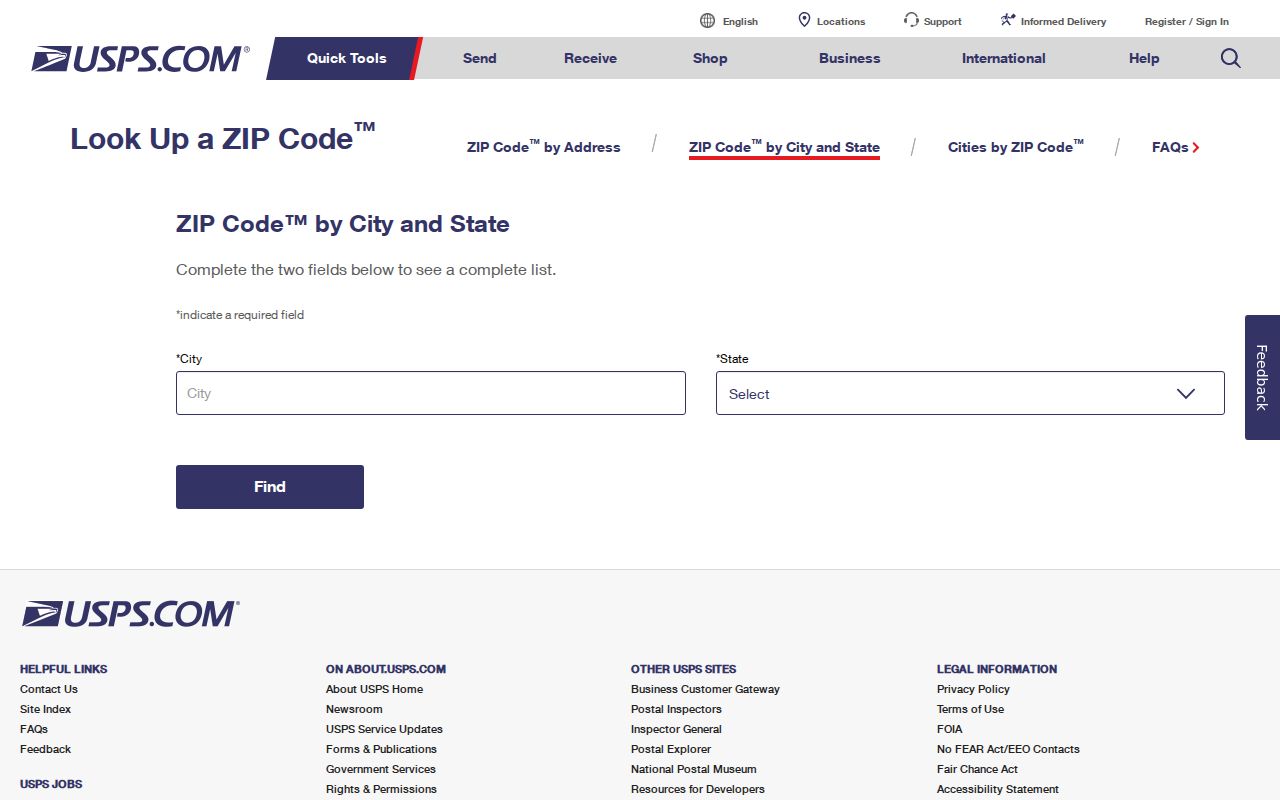
The USPS interface for Coronado is the correct source for Coronado postal verification, including the ZIP+4 portion of a delivery address.
Why Coronado ZIP Portals Fail
The Coronado assessment roll supports APN, address, and street-name searches, but the inspected interface does not offer a ZIP-wide owner directory. The voter form asks for ZIP as part of a self-registration check, not as a browse field. Megan’s Law has a ZIP search under its own public-safety rules, but it is not a general directory. A postal guide that promises every resident would overstate what the local portals provide.
Use a ZIP to filter a known question instead. Search a parcel by address, test a business filing against a postal city, confirm a court or vital request’s place, or use historical directory terms such as Coronado Beach. For a current block, move from ZIP to street and APN. For one person, move from ZIP to name plus an independent record.
The county’s assessment search for Coronado shows the available address and street fields. It also shows why ZIP alone is not the key.
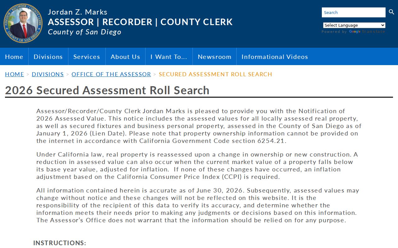
The Coronado assessment interface can locate a parcel by address or street, but it does not turn 92118 into a public Coronado owner list.
Keep Four Coronado ZIP Identifiers
A careful Coronado ZIP guide stores four identifiers together: situs address, owner mailing address, APN, and legal description. Situs is the physical property. Mailing address is where correspondence goes. APN is the assessor key. Legal description is the lot, block, subdivision, or land language in a recorded instrument. Each can be correct while the others look different.
The distinction is vital for a current Coronado lookup and for Coronado historical work. A 92178 PO box has no parcel. A deed may use a legal lot instead of a street number. A city directory may say “res Orange ave and Fifth.” USPS may standardize a direction or suffix. Keep the original form beside the normalized one.
When the Coronado address trail reaches a full named street, switch to the parcel, map, and deed chain rather than repeating a ZIP-level search.
Use Coronado ZIP ZCTAs With Caution
Coronado Census postal tabulation areas approximate delivery geography for statistical work. They are not USPS boundaries, city limits, parcel lines, or a list of residents. A Coronado ZCTA can be useful for broad population context, but it should not replace USPS for deliverability or San Diego County and Coronado sources for jurisdiction.
Coronado’s 2025 population estimate is 21,094 within 7.81 square miles, according to Census QuickFacts. That number describes the city context for Coronado, not the count of people inside a particular ZIP search. Military parcels, PO boxes, high-rise ownership, and planned communities make a ZIP-level statistic an area clue rather than a person-level answer.
For a Coronado address that crosses a neighborhood label, retain the USPS result, the assessor situs, and the governmental jurisdiction side by side. No inspected page supplies a simple official USPS boundary polygon or a verified local ZIP realignment chronology. The safe fallback is to confirm the exact delivery address with USPS and the parcel location with city or county GIS, then preserve the date checked.